 Lincoln took a scientific approach to military strategy. The Anaconda plan’s focus was on securing the coastlines and the Mississippi River. Recognizing New Orleans as the hub of the cotton trade and commerce, Lincoln saw it as the first port to be targeted for blockade. He also hoped to block southern ship traffic from Charleston, South Carolina to cut off Confederate attempts to woo Great Britain and France to their side. Helping him make this happen was Alexander Dallas Bache and the Coast Survey. The Coast Survey had been authorized by Thomas Jefferson, and Bache, who was Benjamin Franklin’s great-grandson, was quick to send nautical charts of the Chesapeake Bay to Lincoln. He also forwarded two terrestrial maps produced by the Survey that had far-reaching influence on Lincoln’s decisions on emancipation and military strategy.
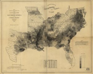
The first map was of the state of Virginia. A relatively new technique of color-coded shading was used to show the percentage of enslaved population in each county based on the 1860 census. The darker shaded counties reflecting higher percentages of enslaved persons were primarily in the tidewater region and toward the southern part of the state. The mountainous western counties held only small percentages of enslaved. That told Lincoln the western counties were less likely to support the insurrection, and indeed, those counties rejoined the Union as the new state of West Virginia.
The second map showed the entire slaveholding portion of the country. Lincoln quickly recognized that the four “border” states—Missouri, Kentucky, Maryland, and Delaware—had relatively few slaves in most of their counties. That fact helped inform Lincoln’s strategies to retain the border states in the Union, including proposals for gradual compensated emancipation in an effort to stimulate the process of freeing the enslaved. The map also clearly showed that eastern Tennessee had relatively few slaves, which again allowed him to target that region for initial military and diplomatic forays in the hope many of the residents would retain their Union sentiments. Also clear was that the highest densities of enslaved populations were in the cotton belt of the deep South and along the Mississippi River borders of Louisiana, Mississippi, and Arkansas, where over 90 percent of the populations of some counties were enslaved. The map reinforced the importance of capturing New Orleans to cut off the main supply and transport line for the Confederate economy. Controlling the Mississippi was the key to the war, which “could never be brought to a close until that key is in our pocket.” It also reinforced the belief that the deep South was so dependent on slavery it would never willingly give it up. Lincoln found this second map especially fascinating, according to Francis Carpenter, who spent six months at the White House preparing his famous painting, “First Reading of the Emancipation Proclamation by President Lincoln.” Carpenter added the southern slavery map to the lower right corner of his painting, reflecting its significance to the decision-making process.
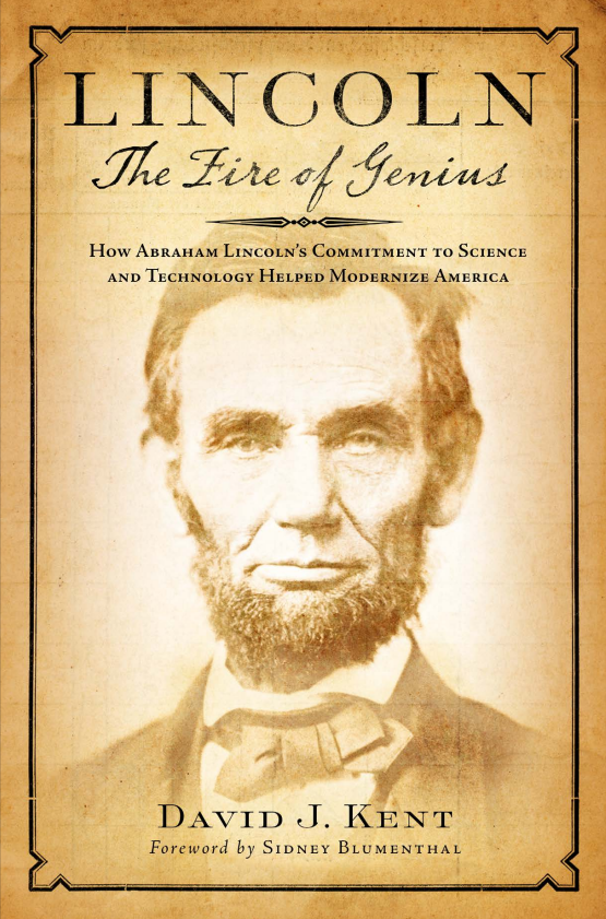
[Adapted from Lincoln: The Fire of Genius: How Abraham Lincoln’s Commitment to Science and Technology Helped Modernize America, now available at booksellers everywhere.]
Lincoln: The Fire of Genius: How Abraham Lincoln’s Commitment to Science and Technology Helped Modernize America was released on September 1, 2022.
The book is available for purchase at all bookseller outlets. Limited signed copies are available via this website. The book also listed on Goodreads, the database where I keep track of my reading. Click on the “Want to Read” button to put it on your reading list. Please leave a review if you like the book.
You also follow my author page on Facebook.
David J. Kent is President of the Lincoln Group of DC and the author of Lincoln: The Fire of Genius: How Abraham Lincoln’s Commitment to Science and Technology Helped Modernize America and Lincoln: The Man Who Saved America.
His previous books include Tesla: The Wizard of Electricity and Edison: The Inventor of the Modern World and two specialty e-books: Nikola Tesla: Renewable Energy Ahead of Its Time and Abraham Lincoln and Nikola Tesla: Connected by Fate.


